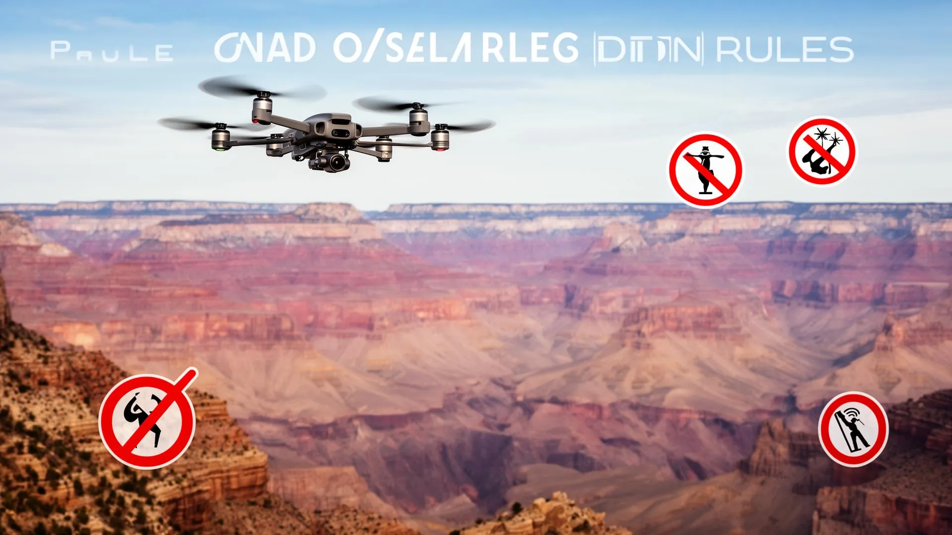
If you have ever planned to film a drone shot of Old Faithful, the Grand Canyon, or the granite walls of Yosemite, there is one fact you need before you pack the controller: launching, landing, or operating a drone inside any National Park Service unit is illegal. This guide is for recreational and creative pilots who want the accurate rules in 2026, the legal authority behind the ban, the narrow exceptions, the real penalties, and (the useful part) exactly where you can fly legally on nearby public land instead. The drone laws around parks are widely misunderstood, including one detail that the rest of the internet routinely gets wrong, so we have grounded every claim below in the primary federal sources.
The one thing to know: Drones are banned across all National Park Service lands and waters under Policy Memorandum 14-05 and the closure authority in 36 CFR 1.5. Violating it is a federal misdemeanor punishable by up to six months in jail and a $5,000 fine. The good news: NPS jurisdiction ends at the park boundary, and the public land that surrounds many parks (National Forests, BLM land, some state parks) often welcomes drones under standard FAA rules.
Can you fly a drone in a US National Park? No.
The blanket answer is no, and it applies everywhere the National Park Service has authority. In June 2014 the NPS Director issued Policy Memorandum 14-05, which directed every park superintendent to use the closure power in 36 CFR 1.5 to prohibit "launching, landing, or operating" unmanned aircraft on lands and waters administered by the NPS. That memo is still in force in 2026, and the NPS confirms it on its current uncrewed aircraft page.
A common misconception is that the ban only covers the 63 famous "National Parks" like Zion or Glacier. It does not. The closure applies to the entire National Park System, which the NPS reports comprises more than 400 units: national monuments, national seashores, national recreation areas, national battlefields, historic sites, and parkways. If a brown NPS arrowhead sign marks the boundary, drones are off limits. Aircraft weight is irrelevant too. A sub-250-gram DJI Mini or a HoverAir is banned exactly like a 900-gram Mavic, because the rule targets the act of operating, not the size of the machine.
The boundary detail almost everyone gets wrong
Here is the nuance that most articles state backwards. The NPS closure is a land use rule. It controls what you may do on the ground that the agency administers, which is why it prohibits launching and landing. Crucially, the NPS itself says that jurisdiction ends at the park boundary. The Park Service does not own or regulate the airspace above the park; the Federal Aviation Administration controls the National Airspace System. So a 14-05 closure cannot, by itself, make it a crime to overfly a park from a legal launch point outside it.
That does not make overflying a free-for-all. Two separate things still stop you. First, recreational rules require you to keep the aircraft within visual line of sight, so you generally cannot legally fly miles into a canyon you cannot see. Second, the FAA frequently layers its own restrictions over and around parks: many have permanent or seasonal special flight rules and Temporary Flight Restrictions (TFRs), and some sit inside controlled airspace that needs LAANC authorization. The honest summary is this: do not launch or land inside a park, and treat any overflight as governed by FAA airspace rules, not NPS land rules. When in doubt, stay clear of the airspace entirely.
What the NPS closure does and does not cover
Prohibited (NPS authority)
- • Taking off from park land or water
- • Landing on park land or water
- • Operating a drone while inside the park
- • Hand-launching or catching inside the boundary
Not the NPS closure, but watch the FAA
- • Airspace above the park (FAA jurisdiction)
- • Park-area TFRs and special flight rules
- • Controlled airspace requiring LAANC
- • Visual-line-of-sight limits on any flight
Why the ban exists
Policy Memorandum 14-05 was a direct response to a wave of drone incidents in 2013 and 2014, including a flight that buzzed a herd of bighorn sheep at Zion and one that crashed into the Grand Prismatic Spring at Yellowstone. The NPS lists four core justifications, and they are reasonable on their face:
- Wildlife disturbance. Drones flush nesting birds, separate young animals from herds, and trigger stress responses that can be lethal.
- Visitor experience. The whine of rotors carries far in quiet backcountry and undermines the soundscape people travel to experience.
- Safety. Crowded overlooks, cliff edges, and active helicopter rescue operations are hazardous places for an uncrewed aircraft.
- Resource protection. A crashed lithium battery can start a wildfire or damage fragile geothermal and archaeological features.
Penalties for flying anyway
This is not a parking ticket. The NPS classifies a violation of the closure as a Class B federal misdemeanor. According to the agency's own guidance, the maximum penalty is up to six months in jail and a fine of up to $5,000. Rangers enforce the rule and exercise case-by-case discretion, which in practice ranges from a verbal warning and a directive to land, up to a citation, equipment seizure, and prosecution for repeat or egregious conduct such as harassing wildlife.
Penalty structure at a glance
Source: National Park Service, uncrewed aircraft guidance.
The narrow exceptions
The ban is close to absolute for recreational pilots, but it is not literally total. The NPS and approved partners do operate drones for search and rescue, wildfire operations, scientific study, and infrastructure inspection, all with superintendent approval. None of that helps a hobbyist.
The only theoretical route for an outside operator is a Special Use Permit. A superintendent has discretion to authorize an unmanned aircraft flight or to designate a specific area for it, but in practice these permits are reserved for scientific research, resource management, and occasional sanctioned film productions with documented mitigation plans. The process is long, requires substantial justification, and is essentially never granted for recreational photography. If your goal is a personal cinematic clip, treat the answer as a flat no and plan around it.
Where you can fly legally instead
This is where the trip is salvageable. Many parks are ringed by other categories of federal and state public land that allow recreational drones, and the scenery a mile outside the boundary is frequently just as dramatic. The two big ones are National Forests and BLM land.
National Forests (US Forest Service)
The US Forest Service takes the opposite posture to the NPS. Its recreational UAS guidance states that the public "may fly UAS for hobby or recreation in many places on National Forest System lands," provided you follow FAA rules. The critical carve-out is congressionally designated Wilderness. Within Wilderness areas, drones are prohibited, because the Forest Service treats them as both "motorized equipment" and "mechanical transport" under Section 4(c) of the Wilderness Act. So a National Forest can be drone-friendly, but a Wilderness area inside that forest is not. Check the map before you fly.
BLM land
The Bureau of Land Management oversees vast stretches of the American West, much of it open to recreational drone use under FAA rules. The same exceptions apply: designated Wilderness, Wilderness Study Areas, active fire TFRs, and any site-specific closures are off the table. BLM holdings near famous parks (around Moab, near Kanab, and across the desert Southwest) include some of the most photogenic terrain in the country.
State parks and other land
State park rules vary enormously, from fully permitted to fully banned, so verify each park individually. Private land with the owner's explicit permission is also a legitimate option. In every case you still owe the FAA the same duties you owe anywhere: line of sight, altitude limits, and no flying in restricted airspace.
| Land manager | Recreational drones | Main exception |
|---|---|---|
| National Park Service | Banned (all units) | SUP only, near-impossible to get |
| US Forest Service | Generally allowed | Banned in Wilderness areas |
| Bureau of Land Management | Generally allowed | Wilderness, WSAs, TFRs, closures |
| State parks | Varies by state and park | Check each park's own rules |
Popular parks and their drone-friendly neighbors
The table below points to commonly cited public land near major parks. It is a starting point, not a clearance. Always confirm the exact boundary, Wilderness status, and airspace before you launch, because Wilderness and TFRs can sit inside any of these areas.
| National Park | Nearby land that often allows drones |
|---|---|
| Grand Canyon | Kaibab National Forest, BLM land near Vermilion Cliffs |
| Yellowstone / Grand Teton | Custer Gallatin and Bridger-Teton National Forests |
| Yosemite | Inyo and Stanislaus National Forests |
| Zion | BLM land near Kanab, Dixie National Forest |
| Arches / Canyonlands | BLM land around Moab, Manti-La Sal National Forest |
| Joshua Tree | Surrounding BLM land outside the boundary |
How to check a spot before you fly
Two questions decide every flight near a park: am I standing on land where launching is legal, and is the airspace open? Answer them in this order.
- Confirm land ownership and Wilderness status. Use a mapping app such as onX Backcountry or Gaia GPS, or the agency's own maps, to verify you are on Forest Service, BLM, or other drone-friendly land, and that the spot is not designated Wilderness.
- Check the airspace with B4UFLY or LAANC. The FAA's B4UFLY service and approved apps show controlled airspace, TFRs, and special flight rules. If you are in controlled airspace, request authorization through LAANC before you take off.
- Register and stay compliant. Recreational pilots in the US register with the FAA, pass the TRUST test, and broadcast Remote ID where required. Our Remote ID compliance guide and our walkthrough of the FAA registration process cover the steps.
- Keep your distance from wildlife. Even on legal land, harassing animals is its own offense. Give wildlife a wide berth and never chase or hover over it.
For the wider picture of restricted airspace across the country, see our guide to drone no-fly zones in the USA. If you are still choosing an aircraft for travel and landscape work, browse our drone reviews for current 2026 picks.
Will the rules ever loosen?
Realistically, no, at least not for recreational flying. Policy Memorandum 14-05 was always framed as an interim measure pending a formal Service-wide regulation, yet more than a decade later the closure remains the operative rule and the NPS has shown no appetite to open parks to hobby drones. The wildlife, soundscape, and safety arguments have only hardened as drones became more common. Expect occasional permitted scientific and film operations, and expect the recreational ban to stay exactly where it is.
The bottom line
You cannot legally launch, land, or operate a drone inside any National Park Service unit, full stop, and the penalties are serious enough that no shot is worth the risk. But the ban stops at the boundary. The National Forests and BLM land that surround so many parks are often open to recreational drones under FAA rules, with Wilderness areas the main exception. Verify the land, clear the airspace with B4UFLY, respect the wildlife, and you can come home with footage that is both spectacular and fully legal.
Frequently asked questions
Can I fly a drone in any US National Park?
No. Every National Park Service unit, not just the 63 headline national parks but also monuments, seashores, recreation areas, and historic sites, prohibits launching, landing, and operating drones under Policy Memorandum 14-05 and 36 CFR 1.5. It is a federal closure, not a per-park choice.
Is it illegal to fly over a park from outside the boundary?
The NPS closure itself ends at the park boundary, so it does not by itself criminalize overflight from a legal launch point outside the park. However, the FAA controls the airspace, and many parks have TFRs, special flight rules, or controlled airspace. Recreational visual-line-of-sight limits also apply. Treat overflight as an FAA matter and avoid park airspace when in doubt.
How much is the fine for flying a drone in a National Park?
A violation is a Class B federal misdemeanor with a maximum penalty of up to six months in jail and a fine of up to $5,000, per NPS guidance. Rangers also have discretion to seize equipment and pursue additional charges for conduct such as wildlife harassment.
Are sub-250-gram drones like the DJI Mini exempt?
No. The NPS closure applies to all unmanned aircraft regardless of weight. A DJI Mini, a HoverAir, or any other sub-250-gram drone is banned in national parks exactly like a heavier Mavic. The rule targets the act of operating, not the aircraft's mass.
Where can I legally fly near a national park?
National Forests and BLM land surrounding many parks generally allow recreational drones under FAA rules, with congressionally designated Wilderness areas being the main exception. Verify land ownership and Wilderness status with a mapping app, then check the airspace with B4UFLY before you launch.
Can I get a permit to fly a drone in a National Park?
A Special Use Permit is theoretically possible at a superintendent's discretion, but in practice it is reserved for scientific research, resource management, and rare sanctioned film productions. It is essentially never granted for recreational photography, so plan to fly on nearby non-park land instead.
This guide summarizes federal regulations from the National Park Service, US Forest Service, and FAA and is for general information, not legal advice. Drone rules change and can carry serious penalties, so always confirm current land-use and airspace rules with the managing agency before you fly. Last verified June 2026.
Frequently Asked Questions
Can I fly a drone in any US National Park?
No. Every National Park Service unit, including monuments, seashores, recreation areas, and historic sites, prohibits launching, landing, and operating drones under Policy Memorandum 14-05 and 36 CFR 1.5. It is a federal closure, not a per-park decision.
Is it illegal to fly over a park from outside the boundary?
The NPS closure ends at the park boundary, so it does not by itself criminalize overflight from a legal launch point outside the park. But the FAA controls the airspace, many parks carry TFRs or special flight rules, and recreational line-of-sight limits still apply. Treat overflight as an FAA matter and avoid park airspace when in doubt.
How much is the fine for flying a drone in a National Park?
A violation is a Class B federal misdemeanor with a maximum penalty of up to six months in jail and a fine of up to $5,000, per NPS guidance. Rangers can also seize equipment and pursue further charges for conduct such as wildlife harassment.
Are sub-250-gram drones like the DJI Mini exempt?
No. The NPS closure applies to all unmanned aircraft regardless of weight. A sub-250-gram DJI Mini or HoverAir is banned exactly like a heavier Mavic, because the rule targets operating a drone, not its mass.
Where can I legally fly near a national park?
National Forests and BLM land around many parks generally allow recreational drones under FAA rules, with congressionally designated Wilderness areas the main exception. Verify land ownership and Wilderness status with a mapping app, then clear the airspace with B4UFLY before launching.